ebook
The Crucial Role of Wildland Fire Fuels and Wildfire Risk Models
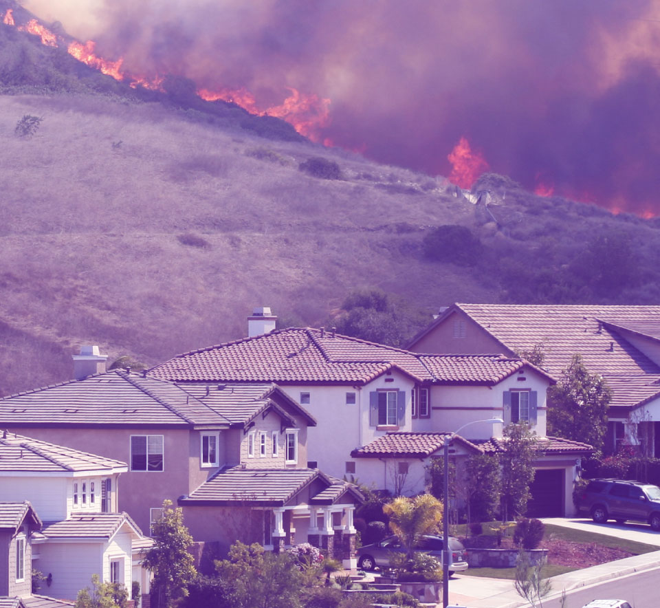
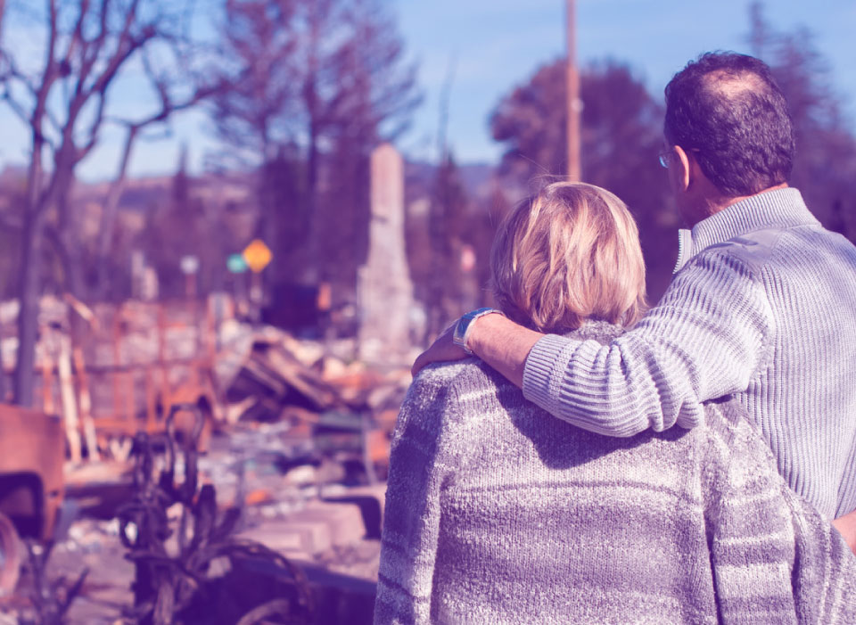
Over the past decade, our world has witnessed a catastrophic surge in losses stemming from the devastating wrath of wildfires. Homes have been reduced to ashes, some ecosystems left in ruins, and entire communities have been scarred by the relentless flames. This alarming trend isn’t only a matter of financial concern but also a humanitarian and environmental crisis of monumental proportions – one that demands our urgent attention and innovative solutions.
What do those solutions look like?
Let’s explore.
About Wildfire Fuels
- Live fuels, which encompass healthy and actively growing vegetation
- Dead fuels, including fallen branches, leaves, and dry grass
- Fine fuels, which consist of smaller, easily ignitable materials like twigs and needles
The Escalating Toll of Wildfires:
A Glimpse into the Numbers
First, to put the magnitude of this issue into perspective, we’ll examine the impact of U.S. wildfires by the numbers:
- 70,006 fires per year, on average, since the 1980s
- 206 million acres of land damaged
- $40.8 billion in government funds spent fighting them
Both the number of fires per year and the cost to fight wildfires have been increasing since the government started tracking figures in 1983.
But this isn’t merely a matter of dollars and cents; it’s about the lives disrupted, ecosystems destabilized, and the untold emotional toll on communities.
How Can We Better Plan for and Manage Wildfire Risk?
Wildland fire fuels and wildfire risk models have emerged as critical tools to help manage the chaos – providing much-needed glimmers of hope and beacons of understanding.
These models, supported by a foundation of various data sources, help us decipher the mysterious and complex behavior of wildfires; empowering fire managers, land planners, and dedicated researchers to assess, predict, and mitigate their ever-present danger.
But here’s the catch — these models are only as robust as the data driving them.
In the world of wildfire modeling, one of the primary sources of data is the publicly available information produced by LANDFIRE — a collaborative program between the U.S. Forest Service and the U.S. Department of the Interior. While LANDFIRE provides a valuable foundation for wildfire modeling, it comes with its own set of limitations.
Navigating the Complexities of Data Interpretation
LANDFIRE’s data plays an indispensable role in national wildfire operations and planning. As the program’s website states: “LANDFIRE products were designed to support landscape-scale analysis – national and regional strategic planning, strategic/tactical planning for large sub-regional landscapes, and Fire Management Units (FMUs) such as significant portions of states or multiple federal administrative entities.”
LANDFIRE supports this mission well. However, when it comes to fine-tuned applications like insurance underwriting, which can benefit from our Wildfire Risk dataset, some interpretation is essential.
Precisely has worked with LANDFIRE fuel models for many years, and we’ve come to understand the strengths and weaknesses of the data when utilized for highly detailed risk analysis, particularly in communities with complicated vegetation patterns.
What’s essential is that this data, like any other, is properly interpreted and used – that’s where a fire behavior analyst (FBAN) is invaluable.
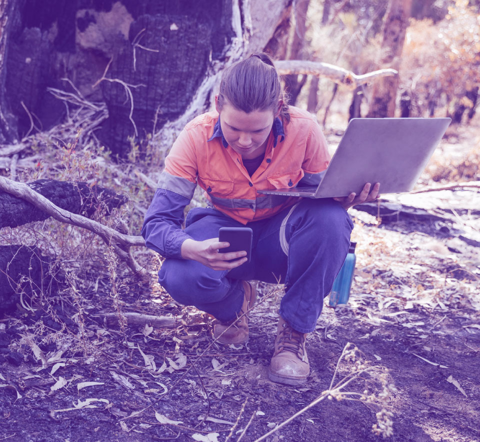
FBANs are both certified fire behavior scientists and have extensive field experience: an essential combination for interpreting how the LANDFIRE fuels and other data can and should be used when predicting fire effects on buildings.
Take, for example, the identification of numerous different grass models.
There are nine models that represent grass, based on height, amount, and climate. In the graph below, all nine models are burned under the same weather conditions – and you can see the drastic difference between the fire behavior produced by each.
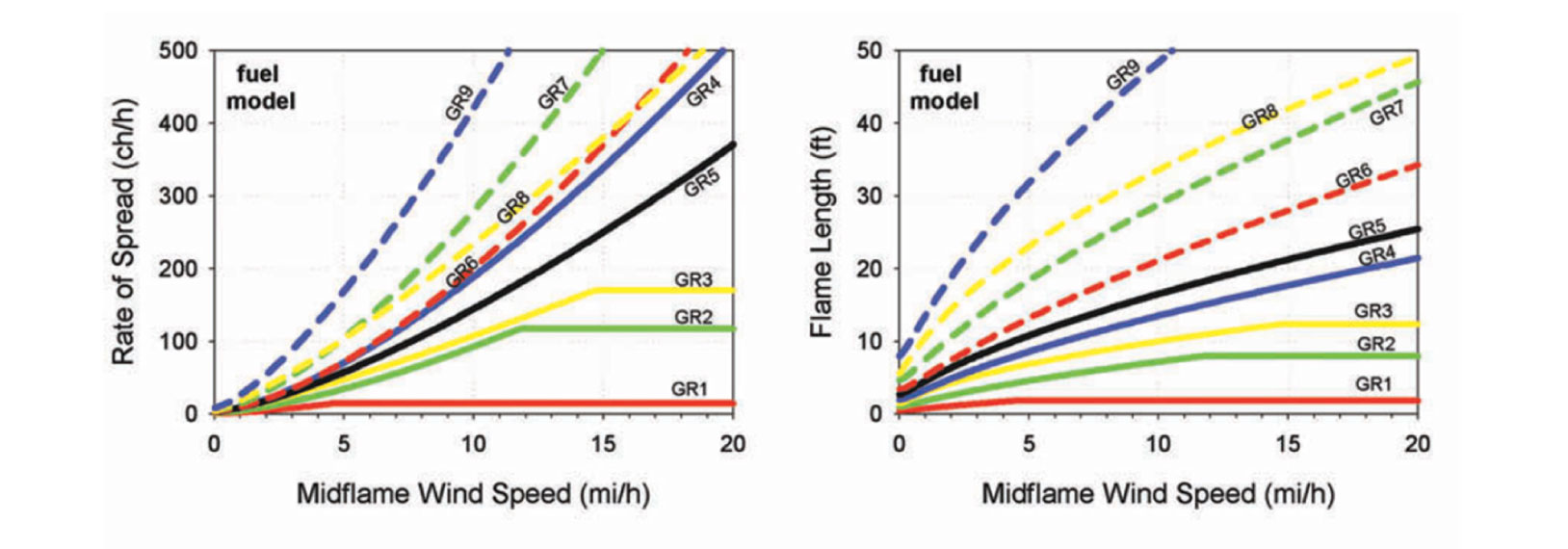
This drives home the need to understand the type of grass that’s prevalent in different regions and how they vary with drought conditions. Having this context could result in the selection of a different model than the one currently assigned.
Adapting to change
Environmental factors create constant change in fuels – whether seasonal or long term.
Because the LANDFIRE datasets aren’t updated annually, they may not capture some of these impacts.
With this in mind, here are a few examples of areas where custom conversions should be made:
- Insect and disease (I&D): There are many insects and diseases that cause vegetation defoliation and mortality in the U.S.
The west experienced massive epidemics in recent years, resulting in large-scale tree mortality in many areas. Usually, vegetation is weakened or killed, making it more susceptible to burning. However, we’re only concerned with I&D which affects volatile fuels. - Drought: Long- and short-term drought impacts vegetation health. In some cases, drought stresses the vegetation which makes it more burnable, but it can also prevent vegetation from growing – which would reduce or eliminate the fire behavior.
- Wet seasons: In years with significant moisture, plants grow denser and taller. All this abundance of fuel eventually dries out and heightens the risk of a more damaging fall fire season.
- Large fire or natural disturbance: After a fire, the fuels within the perimeter are greatly reduced and the landscape is altered. There are numerous fires each year and subsequent postfire debris flows that need to be accounted for.
- Landscape fuel mitigation: Mitigation can be in the form of fuel reduction projects conducted by federal, state, or local agencies.
In a world where wildfires pose an ever-growing threat, the fusion of data, technology, and human expertise provides a beacon of hope.
It empowers us to navigate the intricate terrain of fire behavior, ensuring that we’re prepared to protect lives, property, and the natural world in the face of nature’s fiery fury. With the right data and the right experts, we’re better equipped than ever to confront the formidable challenges posed by wildfires.
Wildfire models and insurance
Wildland fire fuels and wildfire risk models are essential tools in insurance underwriting for properties in wildfire-prone areas. These models help insurance companies assess the risk associated with insuring such properties and make informed decisions about pricing and coverage.
Property owners can also benefit from these assessments by taking proactive steps to reduce their wildfire risk and potentially lower their insurance costs.
As we navigate the fiery challenges of our era, we can wield these tools with expertise and insight to pave the way for a future where the devastating impacts of wildfires are minimized, and communities can thrive in safety and security.
About the Author:
As the former CEO of Anchor Point Group LLC. Rod has 35+ years of experience in Natural Resource Management focusing on combining advanced fire behavior modeling and sound forest management practices to enhance ecosystem health while mitigating the Wildland-Urban Interface fire threat. He implements prescribed burns and provides technical expertise in wildland fire investigations.
He worked for the City of Boulder in several positions including Ranger Supervisor, Forest and Fire Ecologist, and Prescribed Fire Manager. He holds a B.S. degree in Natural Resource Management (Forestry) from Rutgers University and an A.A.S. degree in Forest Recreation from Paul Smith’s College.
He is currently the Chairperson of the Colorado Prescribed Fire Council. He serves on the Boulder County Type 3 Team as Operations Chief and on the Rocky Mountain Complex Incident Management Team as a Fire Behavior Analyst. He is also a volunteer firefighter with the Lefthand Fire Protection District.

Rodrigo Moraga
Principal Technology Architect
Precisely Software Solutions