School Boundaries
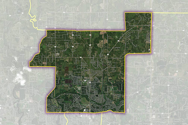
School Boundaries provides three layers of geographic information, including school points, school districts, and school attendance zones, for more than 10,000 school districts in the United States. Additional attribute tables accommodate the complexities and variations of school data from state to state and region to region for further analysis.
Benefits
- Clearly display homes, businesses and other points of interest in relation to school locations and official boundaries
- Empower local search and results with school attendance zones
- Accurately compare and validate school lists
- Know which school attendance zone is associated with a property to correctly estimate value
- Support emergency response and crisis management
- Control access to online applications within school grounds to prevent bullying by social media
Details
- Provides roughly 89% school attendance zone (SAZ) coverage and 100% coverage of US school districts, including public and private school locations
- Locally sourced school attendance zone boundaries delineate which students within the district attend which school
- Nationwide school district boundaries are continually enhanced with locally sourced information
- Public and private school locations include rooftop coordinates, contact and address data, school type, and education level information
- School profile information, such as student enrollment and teacher counts, is gathered from the National Center for Education Statistics (NCES).
Features
- Provides rooftop validated point accuracy for over 95% of all school locations
- Quarterly updates show where change and coverage expansion has occurred
- Change table details adds/deletes/changes from the last release
ooioioiiiooioioiioiiooioiiiooiooiiioioioiiiooioioii
Specifications
Coverage
United States
Release schedule
Quarterly
Unit of Sale
Country, State

