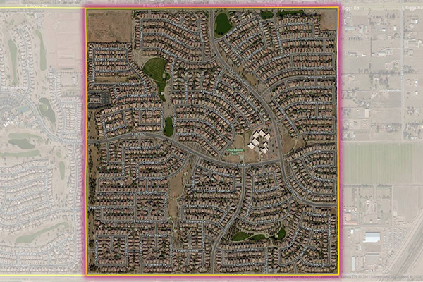
Neighborhood Boundaries
Neighborhood Boundaries identifies and names neighborhoods as they are experienced by local residents. In addition to a hierarchy of precisely validated names and boundaries, it provides data on the population, demographics, culture and other attributes that make a cohesive neighborhood.
Benefits
- Online search - Restrict your results to a specific neighborhood
- Direct marketing - Create hyper-local campaigns
- Social media - Refine searches to a more precise and socially relevant location
- Home valuation - Real estate, financial, and insurance markets can identify comparable home or apartment values
Details
- Covers approximately 100,000 neighborhoods in over 925 metros and 83 countries worldwide
- Includes a unique and persistent object ID as well as primary name, object type code, subtype code, centroid coordinate, and area fields
- Defines macro-neighborhoods, neighborhoods, and sub neighborhoods
- Names table provides alternative names and languages
- Exception and function codes help identify unique and non-traditional neighborhood types
Features
- Neighborhoods are defined using multiple authoritative sources including local government, real estate, tourism, local media, and client feedback
- Unambiguous boundaries enable more accurate search and analysis results and cleaner visualization
- A robust hierarchy tailors data organization, providing macro-neighborhoods, neighborhoods, and sub-neighborhoods
- Coverage concentrates around key metro areas
- Quarterly updates show where change and coverage expansion has occurred
- Change table details adds/deletes/changes from last release
ooioioiiiooioioiioiiooioiiiooiooiiioioioiiiooioioii
Specifications
Coverage
Global
Release schedule
Quarterly
Unit of sale
Region, Country, State
