Precisely Advances Agentic-Ready Data with a New AI Agent, Data Product Marketplace, and MCP-Enabled APIs Read press release
Build solutions faster with Precisely APIs, pre-linked data, and MCPStart free trial
Privacy Notice Updates: We’ve updated our Privacy Notices to reflect changes to our services, new legal requirements, and the types of personal data we collect. Learn more
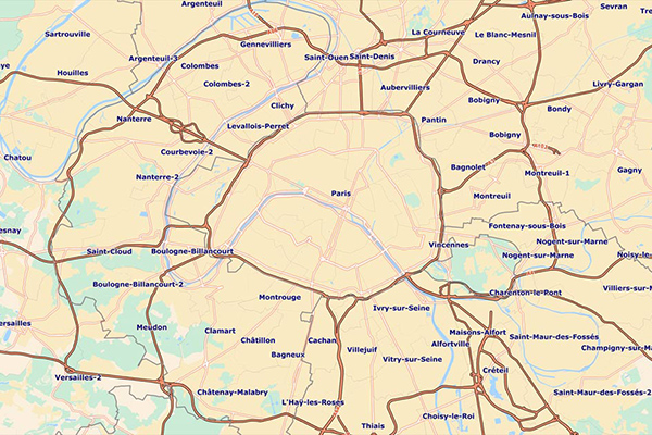
Francièmes Boundaries is a valuable complement to Neighborhood, Residential, and other boundary datasets to help visualise where census polygons overlap with other boundaries in France. Boundary layers include Cantons, Communes, IRIS, and Postaux.
Coverage
France
Product Family
Boundaries
Usage
Use Francièmes Boundaries to:
Provide the ability to run analyses for areas governed by mayors, responsible for civil and public order, organising elections, and issuing official titles
Enable calibration studies across industries
Provide a common mapping framework for IRIS in Metropolitan France and overseas to support local market data studies
Enable enhanced customer insight and insights for creating retail catchments