Data Guide Boundaries
Data Guide Boundaries
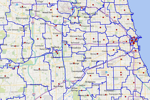
Precisely Boundaries are attributed vector GIS datasets that show authoritative demarcations at different granularities in over 250 countries and territories. This wide variety empowers analysis from a macro to micro level to suit your organizational needs.
Contiguous global boundary coverage provides a named boundary for any location in the world. This allows you to define areas populated by people with shared beliefs, needs, and experiences, whether in a neighborhood in a densely populated area or in a suburban residential enclave. State, county, postcode, or census block group level boundaries enable large scale analysis and aggregation.
Risk datasets use scientific modeling from industry experts as well as raw data collected from trusted sources to indicate areas that are susceptible to natural hazards. Telco datasets provide industry specific spatial representations for network and market planning.
